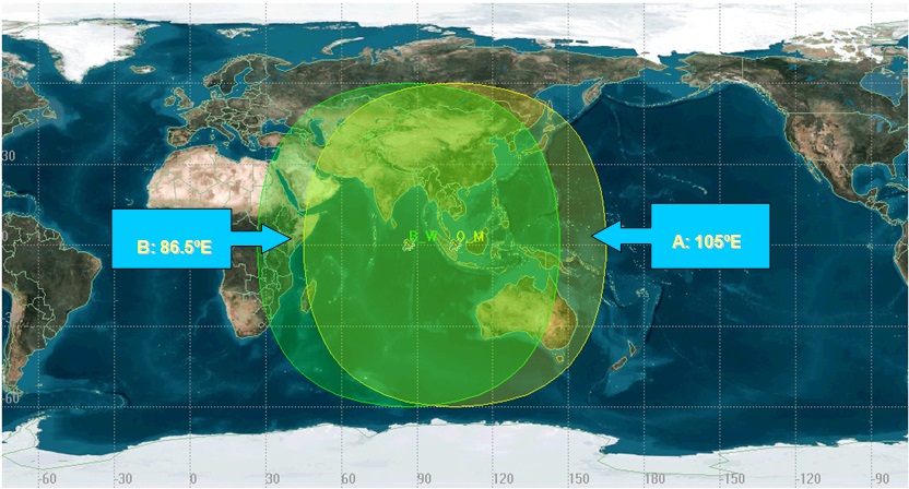
FengYun GEO Global Imagery
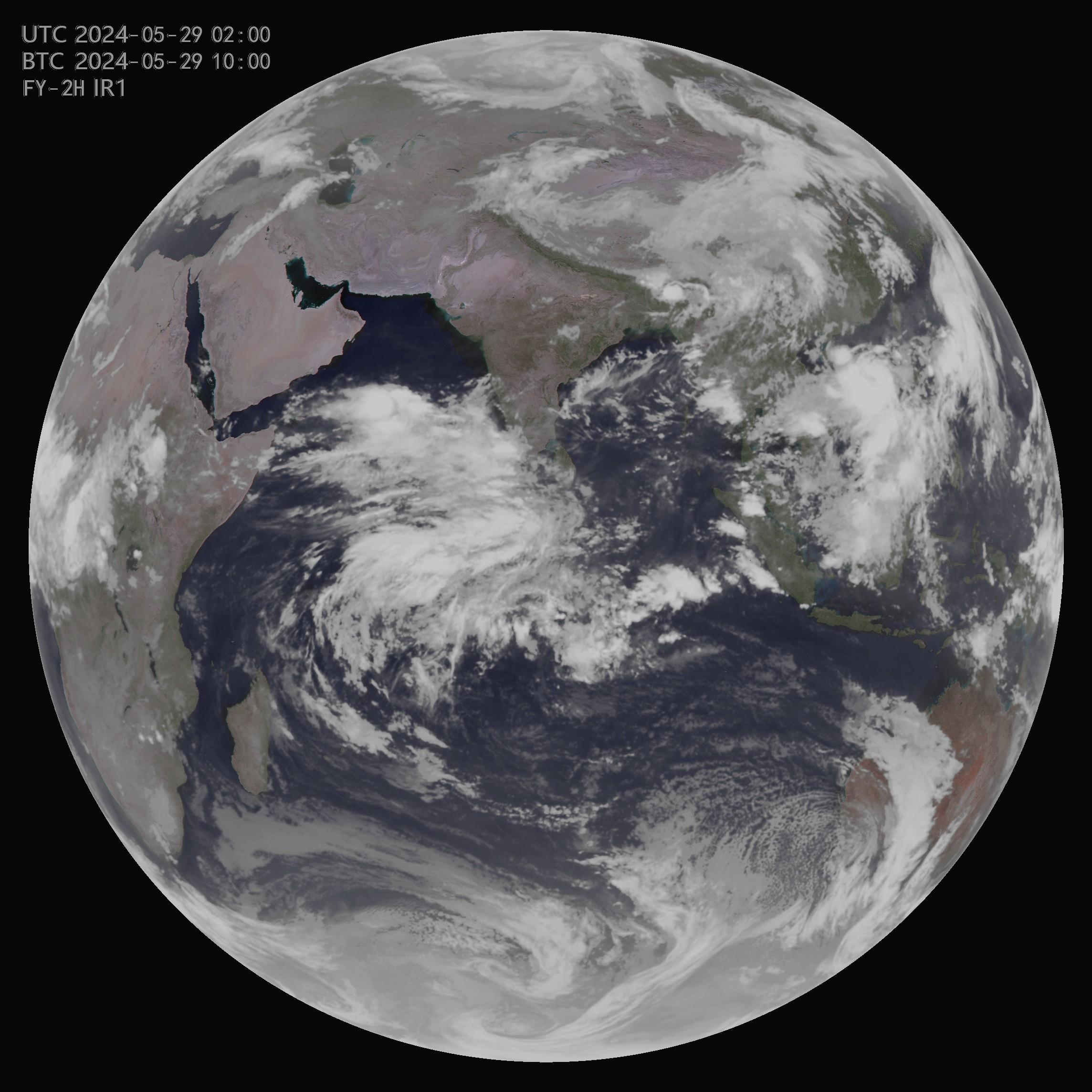
The CMA weather service relies heavily on cloud images coming from two Fengyun geostationary spacecrafts separately located at 105°E (primary position) and at 86.5°E (secondary position). 105°E is used as the primary observational position simply because the satellite there could symmetrically view the country from west to east; together with the satellite at 86.5°E, providing forecasters the measurements everyday.
The two satellites give direct broadcast service following their own schedules, and usually each produces at a rate of one image per hour. However, they start transmission at different time that interleave by 30 minutes: the 105°E satellite broadcasts at each hour time, and the 86.5°E satellite at each half hour time. This operational arrangement provides for users inside the transmission overlapping area with data accessing opportunity twice as much as the outside.
Besides, there is a satellite at 112°E as the orbital storage. It is standing-by for substitution of either 105°E or 86.5°E when necessary. Only in situations that emergent response is made, will the satellite transmit sector scanning data in support for now-casting requirements.
| Position | 79°E | 99.5°E | 105°E | 123.5°E |
|---|---|---|---|---|
| Current Satellite |
 FY-2H
FY-2H
|
FY-2G
|
 FY-4B
FY-4B
|
 FY-4A
FY-4A
|
| Latest Image |
|
|

|
Not available. |