Calibration and Validation
Calibration is the most important for application of FengYun satellite observation. Before launch, the observational instruments were calibrated and the calibration curves obtained that would enable the measurement in digital counts to be converted into brightness temperatures or other physical parameters that make sense for application. After-launch calibration is operationally carried out for the observational data in reality, which could be affected by the aging of instruments.
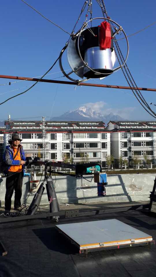
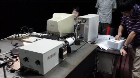
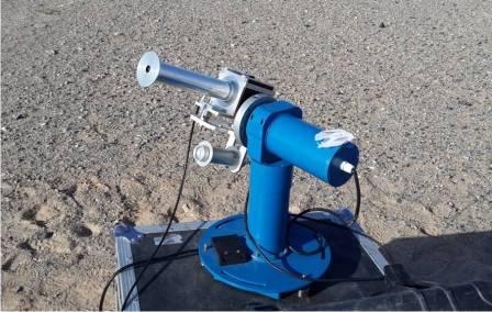
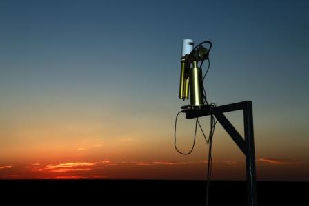
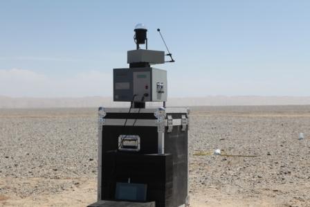
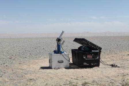
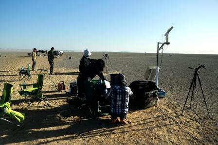
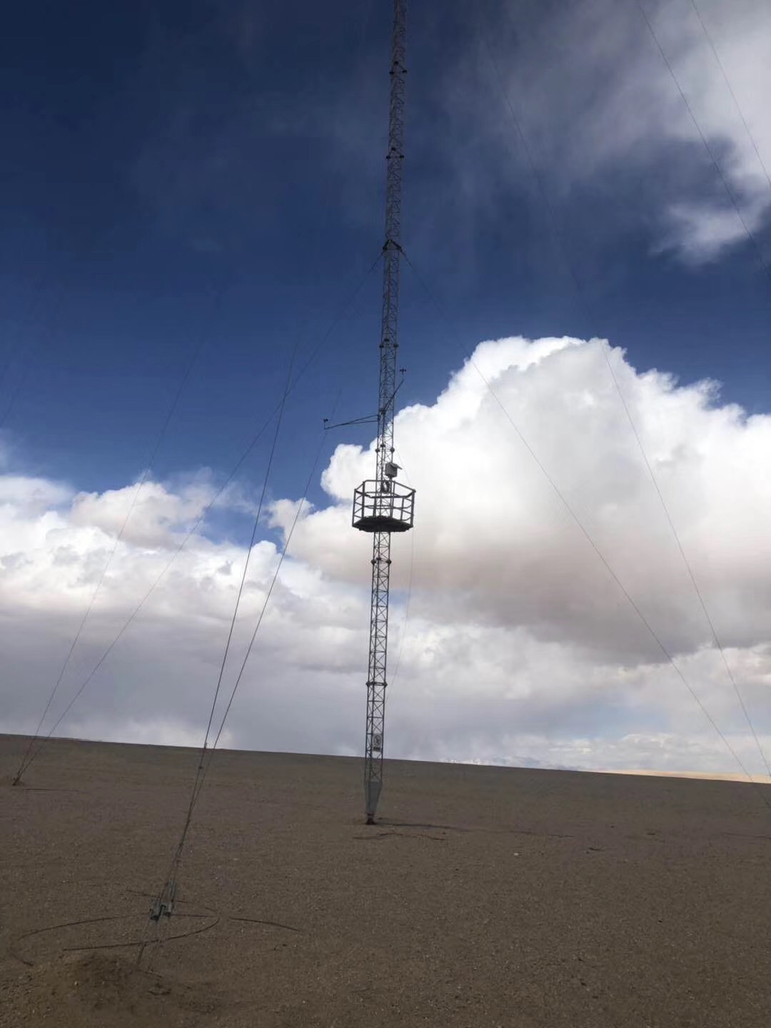
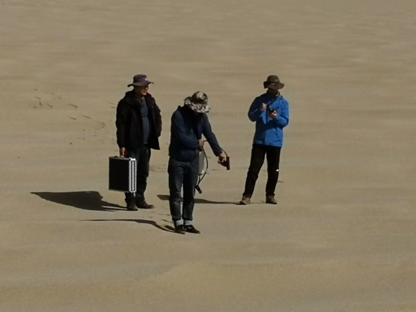
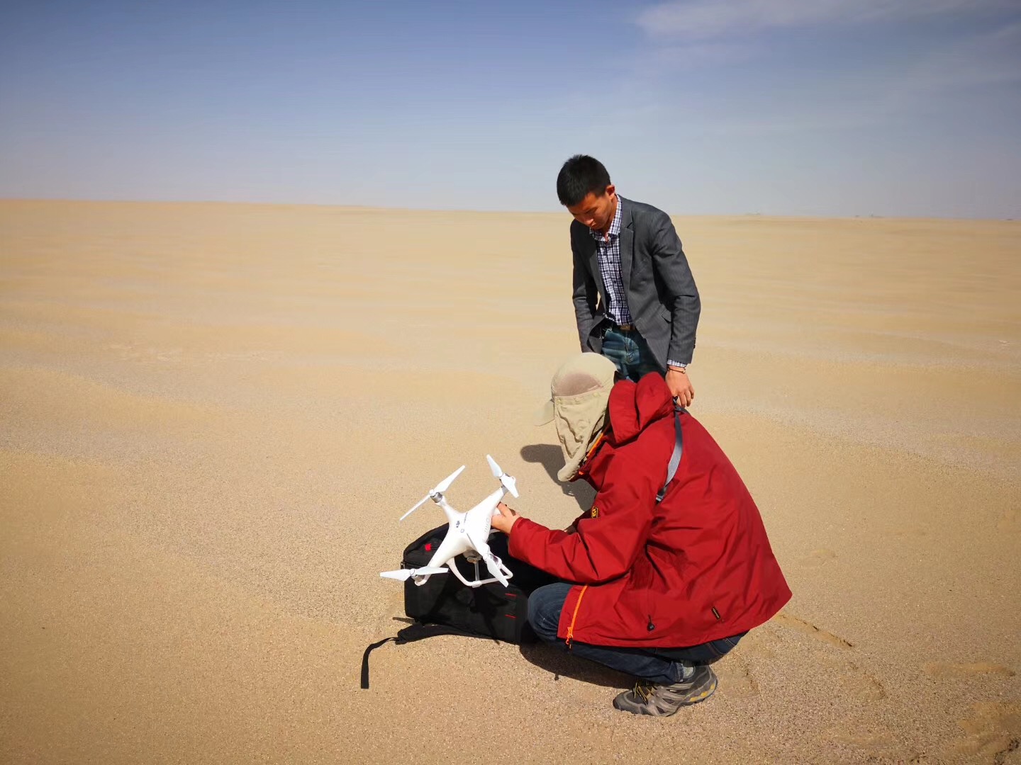
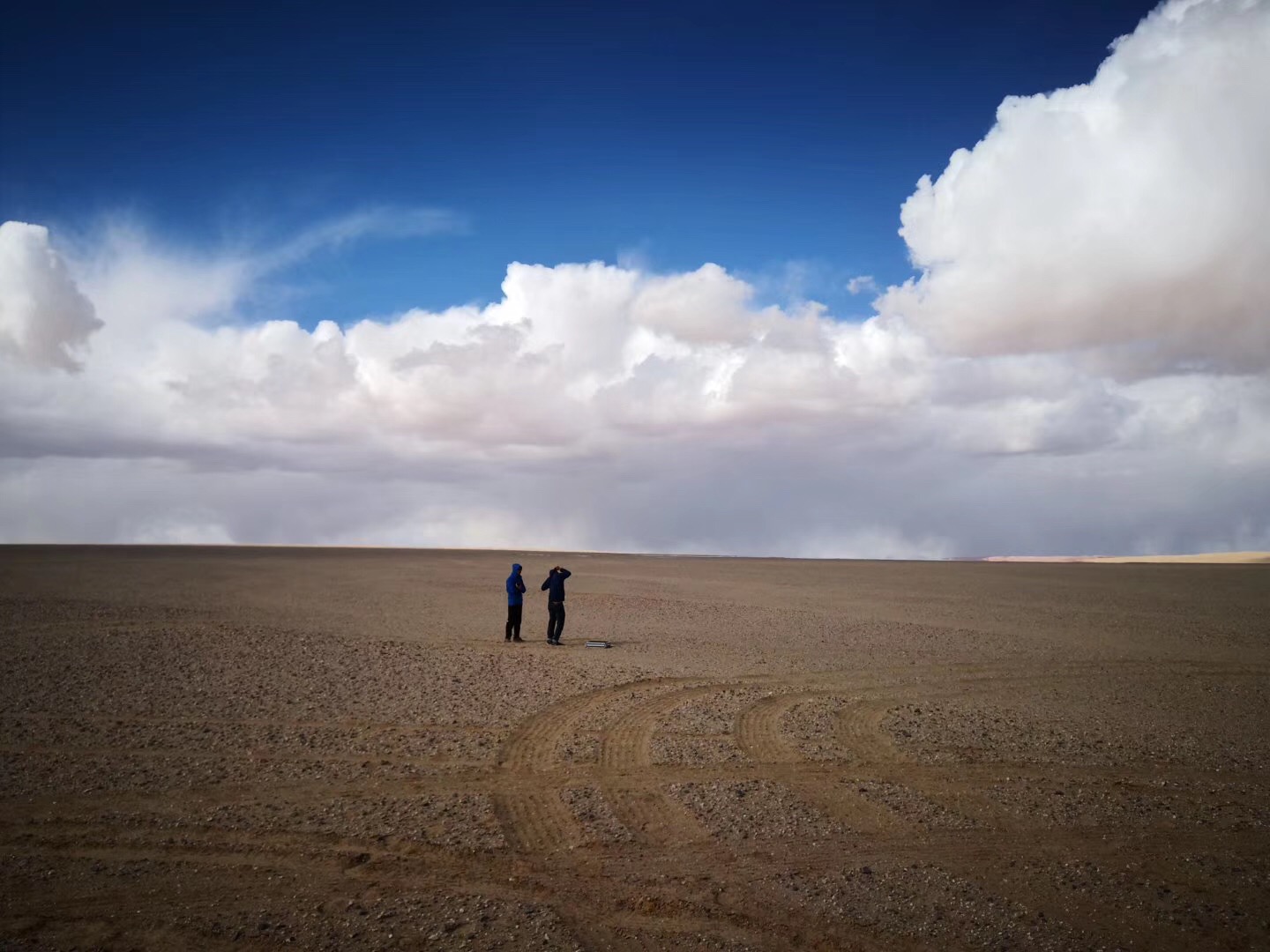
For FengYun system, the usual practice of making after-launch calibration is by comparison with measurement of known targets, such as the Sun, the Moon, or the deep out space. The in-situ data plays an important role in operational calibration for both GEO and LEO FengYun satellites' observation. For this purpose, NSMC maintains two field calibration sites at Dunhuang in the Gobi Desert, and Qinghai-Hu Lake separately.
Although there is a black-body on-board the FY-2 geo-stationary satellites as reference target, operationally NSMC has to look for other calibration methods as the alternative, for the measuring of the blackbody uses an optical path not exactly the same as the VISSR instrument's, and this difference could bring a degree of uncertainty in calibration.
The inter-calibration approach recommended by the GSICS that has been introduced into the NSMC operation proves that using accurate LEO satellite measurements as reference significantly improves the satellite calibration,especially for FY-2. Other operational method for FY-2 calibration involves the approach using the moon as the calibration references.
For the polar-orbiting satellite instrument, regular adjustment to the calibration is made using the in-situ measurement from the field sites.
Visit the CMA GSICS home page for details.

Global Space-based Inter-Calibration System (GSICS)
The World Meteorological Organization (WMO) and the Coordination Group for Meteorological Satellites (CGMS) have implemented a Global Space-based Inter-Calibration System (GSICS), which is intended to establish a consistent calibration of satellite measurements from different instruments operatedby different satellite agencies and to tie these measurements to absolute references. Accurate calibration of satellite instruments against common references allows taking the best benefit of space-based observations, in particular for climate change detection and improved weather and climate predictions. To learn more about this initiative please go to http://gsics.wmo.int/ .
|
|
|
|
|
|
|
|
|
|||
|
|
|
|