FY-2 Series
Introduction
China started to develop its geostationary meteorological satellites and associated ground application systems from the 1980s. China's first geostationary meteorological satellites were named FengYun-2, or FY-2 satellites. China launched its first geostationary meteorological satellite FY-2A on June 10, 1997, boarding a Long March III carrying rocket from the Xichang Satellite Launch Center. Positioned at 105°E above the equator on June 17, the satellite kicked off China's meteorological satellite era.
Chinese geostationary meteorological satellites are usually positioned at five points in space: 79°E, 86.5°E, 105°E, 112.5°E and 123°E. Of them, 105°E is retained for operational satellites, 79°E is for the "Belt and Road" satellite.
Status
| Satellite | Launch | End of Service | Status | Position |
|---|
Development
According to China's development plan for geostationary meteorological satellites, China's first generation geostationary meteorological satellites can be divided into three groups:
- The first group includes two experimental satellites: FY-2A and FY-2B.
- The second group has three satellites, including FY-2C, FY-2D and FY-2E. This group enjoys a noticeably enhanced performance. For example, the onboard scanning radiometer has five channels rather than the three channels on FY-2A and FY-2B, with enhanced major technical indicators. It also enjoys an improved onboard battery capacity that ensures the power supply to the onboard instruments around the spring and autumn equinox where moon shadow would affect solar power supply.
- The last group has FY-2F, FY-2G and FY-2H, with improved performance compared with the second group. This group of satellites is designed to bridge a consistent and stable transition from the first generation to the second generation, as China's first generation geostationary meteorological satellites fleet in orbit will cease to provide application services around 2018.
As of 2022, China has successfully launched 8 FY-2 series geostationary meteorological satellites. Of them FY-2A/B from the first group and FY-2C/D/E from the second group have ceased to work. The ones currently working in orbit are FY-2F/G/H in the last group, which are going to be replaced by the new generation FY-4 series.
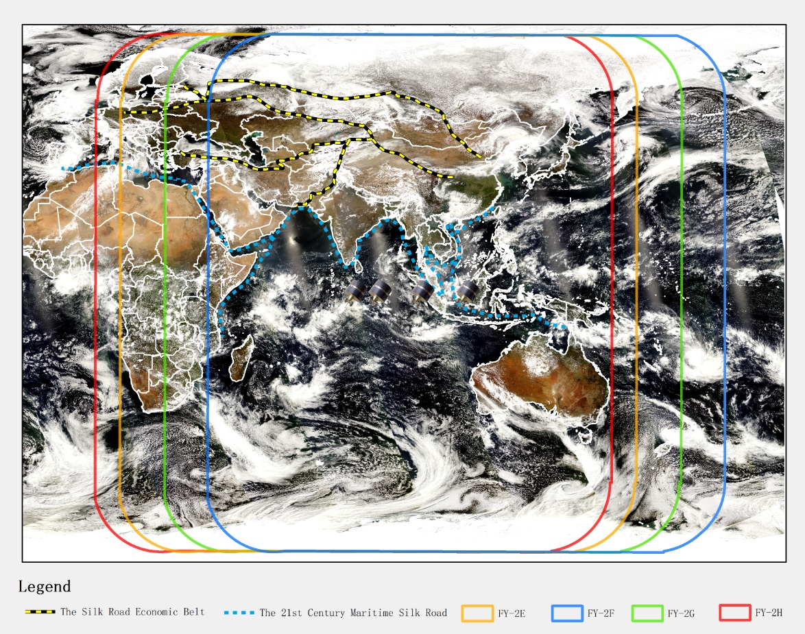
Coverage of FY-2 satellites
Instruments
Observing instruments onboard FY-2:
- Stretched Visible and Infrared Spin Scan Radiometer (S-VISSR)
On FY-2A/B, the same instrument has only three channels (0.5-1.05μm, 6.3-7.6μm and 10.5-12.5μm). On the rest of satellites (FY-2 C/D/E / F/G/H), the infrared long window area (10.5-12.5μm) was split into two channels, with an additional middle range infrared channel (3.5-4.0μm). As a result, the instrument's spatial resolution is raised from 5.76 km (IR) and 1.44 km (VIS) to 5.0 km (IR) and 1.25 km (VIS). The disc image scanning is set at 30 minutes per cycle.
- Space Environment Monitor (SEM)
FY-2 satellites are equipped with a particle detector and an X-ray detector to monitor the space environment where the satellites are working. They collect space environment data, including solar activities, and send them back to the ground application system for satellite projects planning, space environment studies, and space hazards warning.
Frequency information
| Service | Dir | Frequency | Bandwidth | Polarisation | D/A | Datarate / Baseband | Comments |
|---|---|---|---|---|---|---|---|
| CDAS | S-E | 1681.6 MHz | 20000 kHz | linear | D | 14000 kbps | Raw data |
| HRIT | S-E | 1687.5 MHz | 260 kHz | linear | D | 660 kbps | High-resolution data |
| LRIT | S-E | 1690.5 MHz | 1000 kHz | linear | D | 150 kbps | Selected data |
| DCP | E-S | 401.1~401.4 MHz | 3 kHz | RHCP | D | 0.100 kbps | Regional DCP reports |
| E-S | 402.0~402.1 MHz | 1 kHz | RHCP | D | 0.100 kbps | International DCP reports |
Products
| Satellite | Datasets |
|---|---|
| FY-2H | Search |
| FY-2G | Search |
| FY-2F | Search |
| FY-2E | Search |
| FY-2D | Search |
| FY-2C | Search |
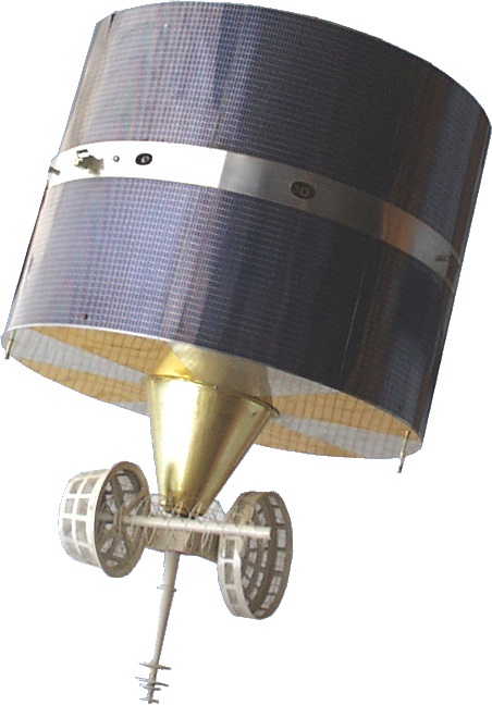
FY-2 satellite