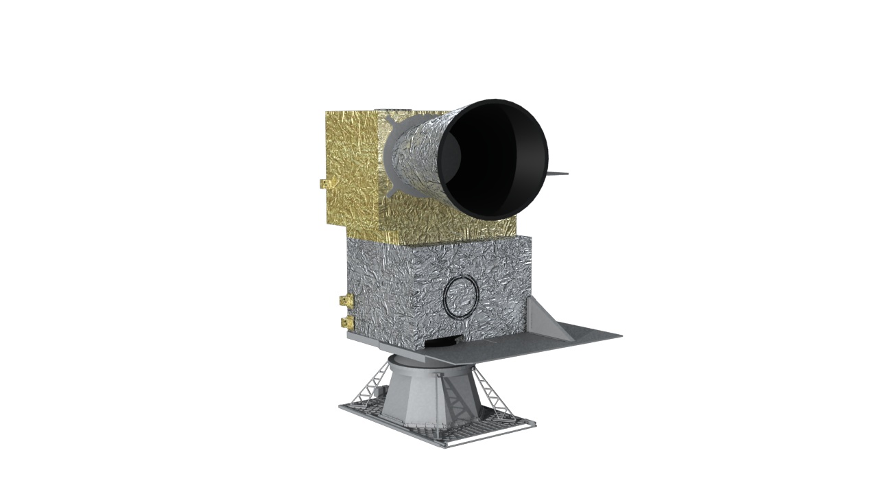
An infrared hyper-spectral vertical sounder, also the first space-borne interferometer that flies in
geostationary orbit to take measurements of three dimensional atmospheric structure from interference of
split light beams. Technically featured by a sensor array plane, a Michelson interferometer working over
different infrared bands for large-area, continuous, fast, and accurate vertical air soundings of
temperature and humidity.
| Band |
Range |
Sensitivity |
Calibration accuracy |
| LWIR |
680 ~ 1130 cm-1 |
0.5 ~ 1.1 mW/(m2sr cm-2) |
1 K |
| MWIR |
1650 ~ 2250 cm-1 |
0.1 ~ 0.14 mW/(m2sr cm-2) |
1 K |
VIS band
○ SNR: S/N ≥ 200 (ρ=100%)
○ Calibration accuracy: 10 ppm
IR bands:
| Band |
Range |
Sensitivity |
Calibration accuracy |
| LWIR |
680 ~ 1130 cm-1 |
0.5 mW/(m2sr cm-2) |
0.7 K |
| MWIR |
1650 ~ 2250 cm-1 |
0.1 mW/(m2sr cm-2) |
0.7 K |
VIS band:
○ SNR: S/N ≥ 200 (ρ=100%)
○ Calibration accuracy: better than 10 ppm
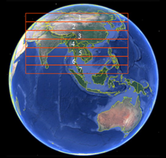
Scan range of FY-4A GIIRS (104.7°E)

Scan range of FY-4B GIIRS (133°E)